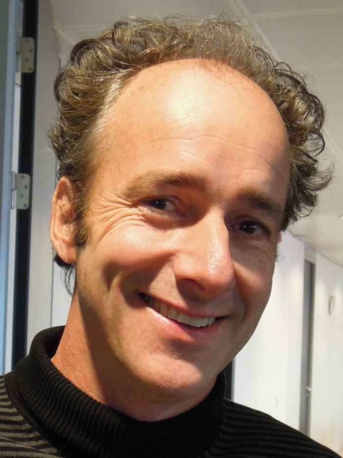
Koomen, Eric (Dr.)
29 August 2023

His research interests include land-use change analysis, spatial modelling and policy support. In the past 15 years, he managed many research projects related to these topics in the Netherlands and abroad. Eric has edited or co-authored three books and published numerous papers in scientific and applied journals and books.
He teaches several courses including 'Land-use Change' and 'Imaging and Assessing Landscapes' at VU Amsterdam. In addition, he is the coordinator of the 'Urban Environment Lab' at Amsterdam University College. Furthermore, he is a regular supervisor of BSc and MSc theses and co-supervisor of several PhD candidates.
Eric graduated in Physical Geography and got his first working experience with GIS at the nature conservation section of a water company. Subsequently, he worked as a GIS adviser at the Dutch Ministry of Transport and Water Management where he focussed on the use of GIS for environmental impact assessment. He managed projects for impact assessment, data collection and data construction. His work also involved the adaptation and construction of GIS tools. In the past few years, Eric worked part-time at the Geodan Next Company where he managed projects for regional authorities that inform planners about likely spatial developments, their potential impacts and possible policy alternatives.
He is an editorial board member of Computers, Environment and Urban Systems (since 2015), Applied Spatial Analysis and Policy (since 2017) and Landscape and Urban Planning (since 2019).